🚀 We’re in Beta!
Meet our new design. Everything works as usual, but if anything feels off,
give us a ping
.
Back to top
Catalog
Baby
Beauty & Grooming
Books
Electronics
Fashion
Health
Home & Kitchen
Sports
Toys
Get the app
Uzbekistan
Cart
Splosh Travel Map - Large Europe Map Pin Board in Grey, Wooden Frame. Map of Europe with 100 Pins in 2 Colours to Mark Your Past & Future Adventures, Map of Europe for Travel Planning, Home Decor.
3.0
3,961,199 so'm
National Geographic Asia Map (folded with flags and facts) (National Geographic Reference Map) Map – Folded Map, May 17, 2023
4.7
762,359 so'm
Collins Children’S World Wall Map: An Illustrated Poster For Your Wall
4.6
464,419 so'm
Lonely Planet Europe Planning Map
4.3
496,129 so'm
Peters World Map: Folded
4.7
308,709 so'm
Swiftmaps Asia Wall Map
4.3
1,186,249 so'm
Europe Map | Geography Posters | Gloss Paper measuring 850mm x 594mm (A1) | Geography Classroom Posters | Education Charts by Daydream Education
4.5
452,029 so'm
World Executive, Poster Size, Tubed: Wall Maps World
4.6
1,000,699 so'm
Lonely Planet The World Planning Map
4.4
456,979 so'm
Detailed Political Map of Europe - Size A2-42x 59.4 cm - Paper Laminated
237,083 so'm
Painless Learning Educational Placemats Europe Asia and Africa Maps Set Non Slip Washable
4.8
1,092,039 so'm
Europe Wall Map Laminated GeoPolitical Edition by Swiftmaps A2 (42cm x 60cm)
4.4
670,249 so'm
Europe - Middle East - Central Asia Political Road Map 1:5 500 000
411,599 so'm
Asia Wall Map Laminated GeoPolitical Edition by Swiftmaps A2 (42cm x 60cm)
4.3
747,609 so'm
Asia Classic, Tubed: Wall Maps Continents
889,869 so'm
Asia Classic, Laminated: Wall Maps Continents
4.4
2,084,799 so'm
Maps International Large Europe Wall Map (political) - Front Sheet Laminated - 118.9cm (w) x 84.1cm (h)
4.6
1,322,579 so'm
Europe Wall Map Political - Educational Learning - Updated 2024 - Laminated - 59 x 42 cm - Maps International
1,480,569 so'm
Maps International Large Political Europe Educational Wall Map Poster - Front Sheet Laminated - 33.1 x 46.8 inches
4.5
1,502,069 so'm
Swiftmaps Asia Wall Map GeoPolitical Edition (18x22 Laminated)
4.2
835,659 so'm
Europe Map Classroom Poster - EXTRA LARGE 33” x 23.5” - Laminated - Map of Europe Geography Class Decoration - Wall Chart by Daydream Education.
4.6
864,449 so'm
Europe Wall Map GeoPolitical Edition by Swiftmaps (18x22 Laminated)
4.6
821,339 so'm
National Geographic Europe Map (folded with flags and facts) (National Geographic Reference Map)
215,962 so'm
Europe Map Puzzle – Map of Europe – Jigsaw Puzzle-Educational History – 100 Piece Puzzles – The Conscious Continent – Geography Puzzle – France | Italy | Germany | Spain | United Kingdom | Ukraine
4.7
396,919 so'm
Painless Learning M. Ruskin Europe Map Placemat (EUR-1)
4.7
493,439 so'm
Painless Learning Educational Placemats Sets USA Africa Asia and Europe Maps Non Slip Washable
4.7
386,101 so'm
Scratch off Map of the Europe - Easy to Frame 24x16 European Travel Map Poster with Cities - Large Black and Gold Push Pin Travel Wall Maps - Scratchable Europe Map with Scratcher Included
5
477,528 so'm
National Geographic Europe Wall Map - Classic - Laminated (Enlarged: 46 x 35.75 in) (National Geographic Reference Map) Map – Wall Calendar, January 1, 2017
4.5
1,171,164 so'm
Palmetto Posters 24x28 Laminated Poster: Large detailed political map of east asia
4.0
1,112,059 so'm
Europe Map (National Geographic Adventure Map, 3328)
4.6
1,093,829 so'm
Drgilau Old World Map Tapestry Wall Hanging, Map Tapestry for Kids Students Vintage Asia Europe America Africa Japan Wall Decor Tapestries, Map of World Wall Art for Bedroom Living Room Home Office
4.4
679,589 so'm
US and World Desk Map (13" x 18" Laminated) for Students, Home or Classroom Use by Lighthouse Geographics Office Product
4.7
578,899 so'm
Teacher Created ResourcesAsia Map Chart, Multi Color (7652)
4.5
555,679 so'm
KEIUNDJK Political Map of Europe Poster Style-1 16x24inch(40x60cm)
4
1,459,469 so'm
National Geographic Asia Wall Map - Classic - Laminated (33.25 x 38 in) (National Geographic Reference Map) Map – March 2, 2021
4.4
2,156,699 so'm
World Map Tapestry, Asia Europe South City Topography America Africa Japan Poster Tapestries, Educational Kids Student Map of World Tapestry for Bedroom Living Room Home Office, 60X40in
FREE
Vintage Map of Europe Travel World Political Map Cities in Detail Map Posters for Wall Map Art Wall Decor Geographical Illustration Tourist Travel Destinations Cool Wall Art Print Poster 12x18
4.7
677,409 so'm
Educational Placemats for Kids Set of 8 World Map Placemat Non Slip Washable Eat Table Mat USA, Europe, Asia, Africa, South America, Central America, Canada Maps for Primary School Dining Table
293,545 so'm
National Geographic Europe Wall Map - Executive (30.5 x 23.75 in) (National Geographic Reference Map)
4.6
944,409 so'm
Map of Europe 18x24 - Laminated Wall Map Poster Print Perfect for Classrooms and Homes - Vivid Imagery with Bright Colors
4.3
776,809 so'm
National Geographic: Asia Political Wall Map - 28 x 22 inches - Paper Rolled
1,659,299 so'm
Gifts Delight Laminated 17x14 Poster Map of Asia
1,032,219 so'm
Painless Learning Educational Placemats for Kids Laminated Europe and Asia Map Set Free Two Sided United States/World Maps 3-Ring Binder Washable
5
1,169,439 so'm
Swiftmaps World Premier Wall Map Poster Mural 24h x 36w
4.6
620,519 so'm
Map of Asia 24x36 - Laminated Wall Map Poster Print Perfect for Classrooms and Homes - Vivid Imagery with Bright Colors
239,746 so'm
Educational Workbook Eight Geography Full Color Detailed Laminated Maps USA,World,Canada,Mexico,South America,Europe,Africa and Asia
4.6
702,359 so'm
National Geographic Asia Wall Map - Executive - Laminated (33.25 x 38 in) (National Geographic Reference Map) Map – May 11, 2016
4.0
546,402 so'm
Gifts Delight Laminated 24x25 Poster: Physical Map - Europe Map with Cities - Blank Outline map of Europe-
4.6
747,389 so'm
Gifts Delight Laminated 24x31 Poster: Political Map - Map Asia
3.8
769,529 so'm
Painless Learning Educational Placemat Sets; USA, World, Europe, Asia, Africa, South America, Central America, Canada Maps [Set of 8] Multicolor
4.8
1,606,589 so'm
Where in the World? Europe and Asia, Continents, Oceans, & More - Student Map Worksheet Book: Europe and Asia, Continents, Oceans, & More! Student Map Worksheet Book
1,893,369 so'm
Framed Map of Europe with Push Pins | Personalized Travel Map Europe with Pins | Detailed Pin Map of Europe | Big Map of Europe With Various Customization Options
12,817,949 so'm
Europe Political Wall Map - 53" x 39.5" Paper
2,836,819 so'm
National Geographic: Central Asia Wall Map - 28 x 22 inches - Laminated
647,866 so'm
Lonely Planet Europe Planning Map
4.3
589,009 so'm
National Geographic: Europe Executive Enlarged Wall Map (46 x 35.75 inches) (National Geographic Reference Map)
879,519
DAYONG Scratch Off Word Map, Scratch Off Map with Scratcher and Brush, 82x60CM Scratch Off Travel Poster, Travel Map Wall Art Gift for Outdoor Enthusiasts
4.2
571,929 so'm
Rick Steves Europe Planning Map: Including London, Paris, Rome, Venice, Florence, Amsterdam, Vienna & Prague City Maps
206,312 so'm
Gifts Delight Laminated 30x24 Poster: Political Map - 100 Afghanistan Map Blank Political Afghanistan Blank Map of Europe and Asia No Borders
4.9
759,289 so'm
Scratch Off Map Of Europe – Color Europe Wall Map – Scratch Off – 23 x 33
4.5
516,849 so'm
The Times Map of the World
189,339 so'm
GeoMetro - Large map of Europe (35 x 48 inches) full lamination, countries with the euro, members of the European Union Map – Wall Map, January 1, 2023
1,571,149 so'm
World Map Tapestry, Vintage Old Map of World Kids Student Educational Tapestries Poster, Topography Asia Europe America Africa Japan Geographical Travel Map Tapestry for Bedroom Living Room, 60X40ines
4.7
320,088 so'm
Silk Road Countries geogr.
4.3
381,773 so'm
Europe - Middle East - Central Asia Map Provided w
641,806 so'm
Laminated World Map Poster - Wall Chart Map of Earth - 18" x 29" (Blue)
4.7
515,059 so'm
World Map Tapestry for Kids Student, World Map with Countries and Major Cities Tapestry Educational Tapestry, Asia Europe South City Topography America Africa Japan Wall Tapestry 60X40 Inch(Black)
4.5
223,114 so'm
Europe - Middle East - Central Asia Map Flat in a Tube 1:5 500 000
510,946 so'm
World Countries Maps Coloring Book - Continent Africa, Asia, Europe, Oceania, North and South America: Atlas of the World Coloring Maps with Countries Capitals Regions City Mountain River Sea
335,336 so'm
World Map [Folded]
4.7
1,284,579 so'm
History of the World Map by Map Hardcover – Big Book, 4 October 2018
4.8
3,043,789 so'm
National Geographic: Europe Classic Enlarged Wall Map (46 x 35.75 inches) (National Geographic Reference Map)
4.7
2,069,069 so'm
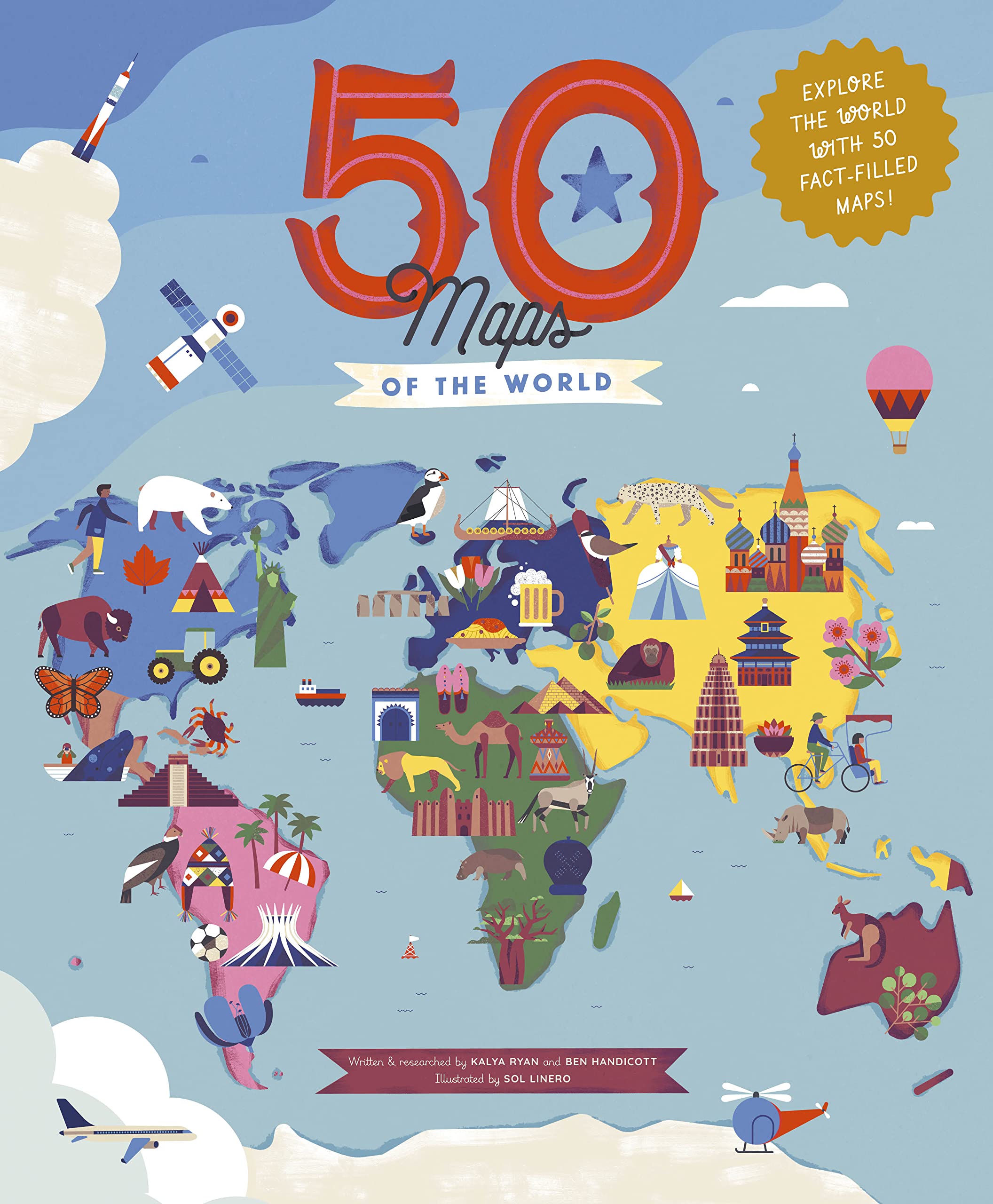
50 Maps Of The World: Explore The Globe With 50 Fact-Filled Maps!Volume 9 Hardcover – Illustrated, 1 September 2020
4.8
1,598,019 so'm
Atlas: A Pocket Guide to the World Today
243,269 so'm
VeiVian World Map Tapestry, Asia Europe South City Topography America Africa Japan Poster Tapestries, Educational Kids Student Map of World Tapestry for Bedroom Living Room Home Office, 60X40in
248,627 so'm
ARA STEP Antique Vintage World Maps Asia Europe America Australia Posters Wall Art Decor Prints UNFRAMED C (297 x 420 mm / 11.7 x 16.5 inches, Ortelius World Map (1570))
359,745 so'm
Star The Constellations Glow-in-The-Dark Map (Northern Hemisphere) Office Product
4.0
2,364,459 so'm
Turkey Road Map 1:800 000
4.3
1,482,239 so'm
Türkiye (Turkey) Map
4.4
335,952 so'm
Europe - Middle East - Central Asia Map Large Size
718,031 so'm
Europe Geography Activity Book: Maps, Facts, Flags, Activities - Learn About the Countries of Europe
4.6
814,679 so'm
Europe Map Puzzle – Map of Europe – Jigsaw Puzzle-Educational History – 100 Piece Puzzles – The Conscious Continent – Geography Puzzle – France | Italy | Germany | Spain | United Kingdom | Ukraine
4.7
454,162 so'm
Railway + Ferries Europe, Railway Map Railway & Ferry Map 1:5 500 000
421,369 so'm
Maps of the World: An Illustrated Children's Atlas of Adventure, Culture, and Discovery
654,389 so'm
World Map-Laminated
4.7
690,079 so'm
National Geographic Maps World Classic, Laminated: Wall World Map – Wall Map, 2 August 2012
4.6
1,664,929 so'm
World Decorator, Laminated: Wall Maps World
4.7
1,524,969 so'm
World Regional Maps Coloring Book: Maps of World Regions, Continents, World Projections, USA and Canada
357,419 so'm
Brands
Splosh
National Geographic Maps
Collins Kidssteve Evans
Lonely Planet
Swiftmaps
Painless Learning
Maps International
Daydream Education
Divalis
Palmetto Posters
Drgilau
American Geographics
Teacher Created Resources
Veivian
Poster Foundry
Obusatt
Home Comforts
Gifts Delight
National Geographic
Dayong
Mtsxfy
Palace Learning
Dkpeter Snow
Ben Handicottkalya Ryansol Linero
Star
Freytag-berndt Und Artaria
The Bantu Sun
Mapping Specialists


![Painless Learning Educational Placemat Sets; USA, World, Europe, Asia, Africa, South America, Central America, Canada Maps [Set of 8] Multicolor](https://m.media-amazon.com/images/I/81Zo5ON4rKL.jpg)


![World Map [Folded]](https://m.media-amazon.com/images/I/81ef0jrm6oL.jpg)